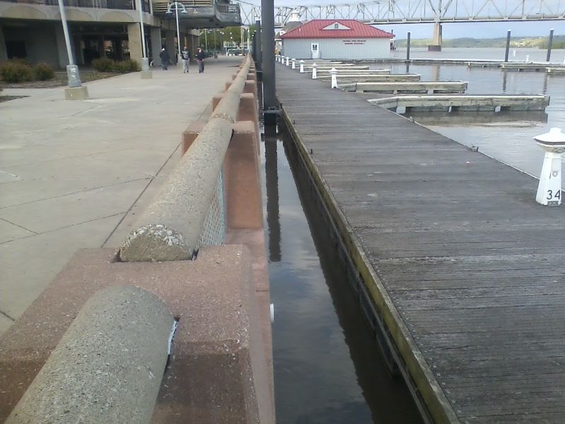
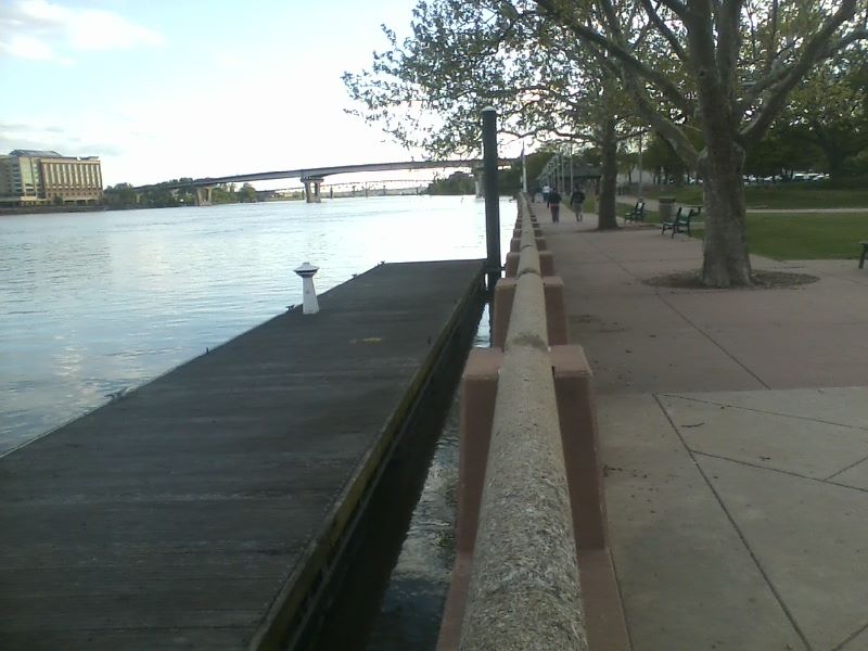
The first wall, the sheet pile wall along the river's edge averages at elevation 450, which is equal to river stage 22.6, so it will come over that wall.
The parking lot by the river station and the ground around that area is at elevation 454, which is river stage 25.6.
I think that water street by the museum was raised to 457 or river stage 28.6. (The topo on the Peoria gis maps does not reflect that)
So the water is expected to come over the shoreline wall, but probably not reach the railroad tracks, at the current projection.